
Tropical Storm Erin to Become Hurricane in a 'couple of Days'
MIAMI, FL – Tropical Storm Erin is expected to become a hurricane in a “couple of days” as it continues to move westward and approximately 1, 400 miles east of the Northern Leeward Islands.
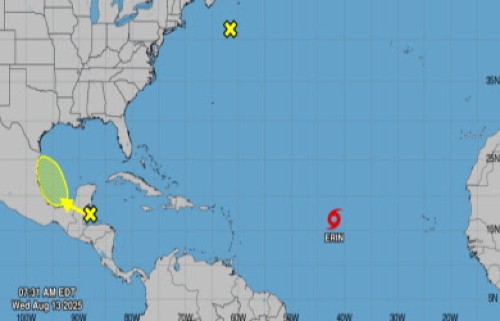 According to the latest bulletin issued by the Miami-based National Hurricane Center (NHC), Interests in the northern Leeward Islands, Virgin Islands, and Puerto Rico should monitor the progress of Erin, which has maximum sustained winds of 45 miles per hour (mph).
Erin is moving toward the west near 20 mph and on this general motion, it is expected into Thursday, with a west-northwestward motion beginning Thursday night and continuing into the weekend.
“On the forecast track, the center of Erin is likely to move near or just north of the northern Leeward Islands over the weekend,” the NHC said, adding that with higher wind gusts, “gradual strengthening is forecast to begin today, and Erin will likely become a hurricane by late Thursday or early Friday”.
The NHC said rhat tropical-storm-force winds extend outward up to 60 miles from the center and that sea swells generated by Erin will begin affecting portions of the northern Leeward Islands, the Virgin Islands and Puerto Rico by this weekend.
“These swells are likely to cause life-threatening surf and rip current conditions,” it added.